
Storm & extreme wind
The hazard that visits most often and is insured against least carefully.
Storm risk covers sustained gales, extreme gusts, convective squalls and hail.
What it means
Society and your property, compared.
| Society | Parcel |
|---|---|
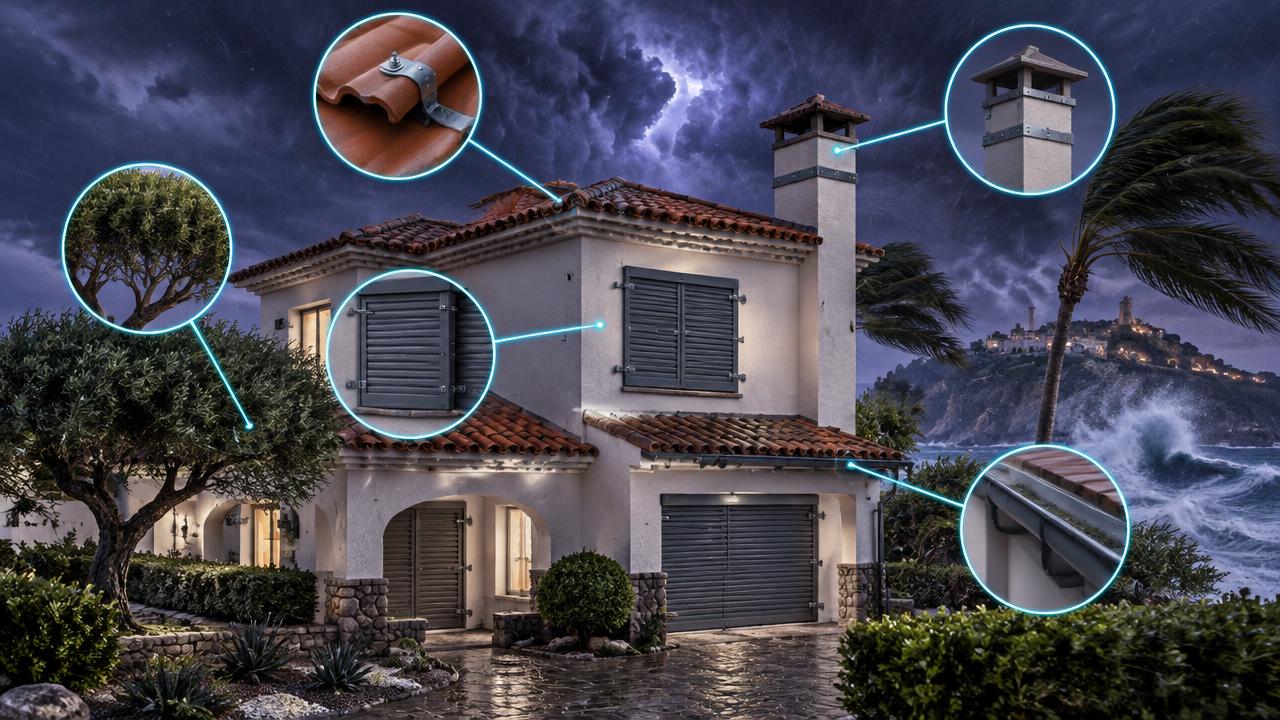
Frequency over severity Windstorms produce more claims each year than rarer catastrophes, but rarely dominate headlines. | Roof and cladding Wind uplift concentrates at roof edges and ridges; loose tiles are usually the first failure. |
Power and connectivity Fallen lines and trees cut electricity, water and communications for days after a storm. | Openings Once a window or door fails, internal pressure can lift the roof from inside. |
Transport and ports Port closures, cancelled flights and blocked roads disrupt supply chains and cause injuries from debris. | Surroundings Trees, aerials and unsecured yard items become projectiles that damage neighbouring roofs and windows. |
Agriculture Hail can destroy a year's crop in minutes, and wind damages orchards and solar installations. | Exposure A plot on an exposed ridge or plain sees far higher gusts than one sheltered by terrain. |
What drives it
Physical and human causes.
- 01
Atlantic storm track
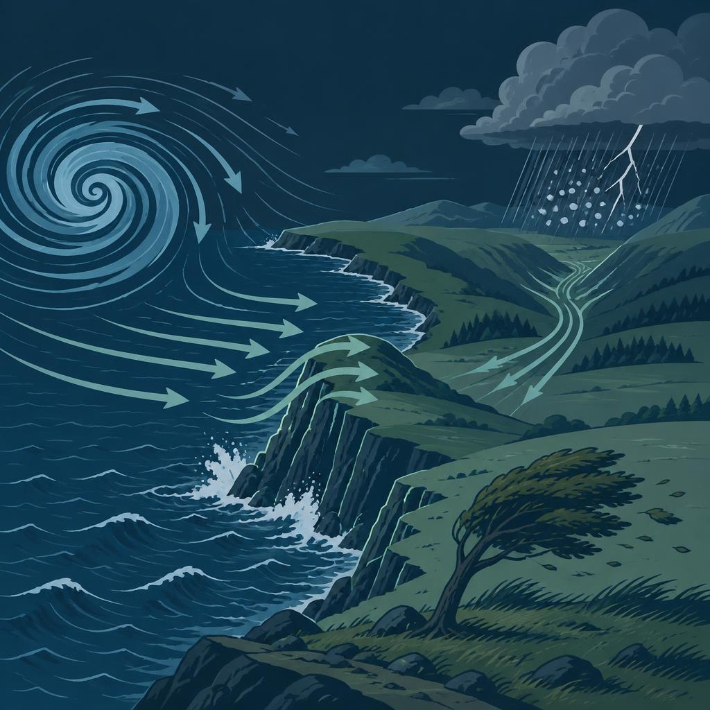
Position and intensity of North Atlantic depressions set the gale climate of Galicia, the Cantabrian coast and the Costa da Morte.
- 02
Terrain channelling
Valleys such as the Ebro accelerate flow, producing inland wind maxima far from any coast.
- 03
Coastal exposure
Open fetch and the absence of upwind roughness leave coastal plots taking the full gust with no reduction.
- 04
Convective energy
A warmer, moister lower atmosphere increases the energy available for squalls, downbursts and large hail, particularly inland in summer.

How we score it
What sets the score.
We combine four things: the background wind and gust climate, how exposed the terrain around the plot is, how directly the coast can deliver a storm to it, and how much convective energy — squalls and hail — the area gets.
| Factor | Weight |
|---|---|
| Wind & gust climatologyBackground gust climatology and return periods for the surrounding area. | 32% |
| Terrain exposureTerrain roughness, ridge position and shelter around the plot. | 26% |
| Coastal storm reachDistance to, and openness of, the coastline that storms arrive across. | 22% |
| Convective storm energyEnergy available for squalls, downbursts and hail. | 20% |
The data layers behind it
EEA storm-surge frequency
Regional anchor for coastal storm activity and its projected change.
Coastline geometry and wind-corridor model
Exposure along each stretch of coast and the inland corridors, such as the Ebro, that channel wind.
Elevation model
Ridge position, shelter and terrain roughness at the plot.
Spanish Cadastre
Parcel boundary, building footprint and the built roughness around it.
Every score is shown for a climate pathway (mid-range or high emissions) and a year out to 2100. Scores are screening-level: they tell you which hazard matters where you are and roughly how much, not what an engineering survey would conclude for a specific building.
The other hazards

See what this hazard does to your own address.
The parcel check is free and needs no sign-up: five hazard scores, the factors behind them, and trajectories out to 2100.