

GaıaVUE

Free parcel climate check

See what climate change
does to your address.

Heat, wildfire, flood, storm and drought — scored for your own parcel, out to 2100. Free, no sign-up.

Spanish addresses only for now — the parcel data comes from the Spanish Cadastre. You can also click any parcel on the map.

Or explore the hazard map first.

What you get, free

A complete climate picture for one parcel.

Enter an address, or click the map. GaiaVue reads the parcel from the Cadastre and scores it against satellite observations, Copernicus layers, terrain and hazard history.

Five hazard scores for the ground under your address, 0–100.
Factor breakdowns showing what drives each score.
Trajectories to 2050 and 2100 under the climate pathway you pick.
A downloadable PDF report for the parcel.

The five hazards

Every parcel is scored against all five.

The same parcel, the same scenarios, five separate hazard views — so you can see which one actually matters where you are.

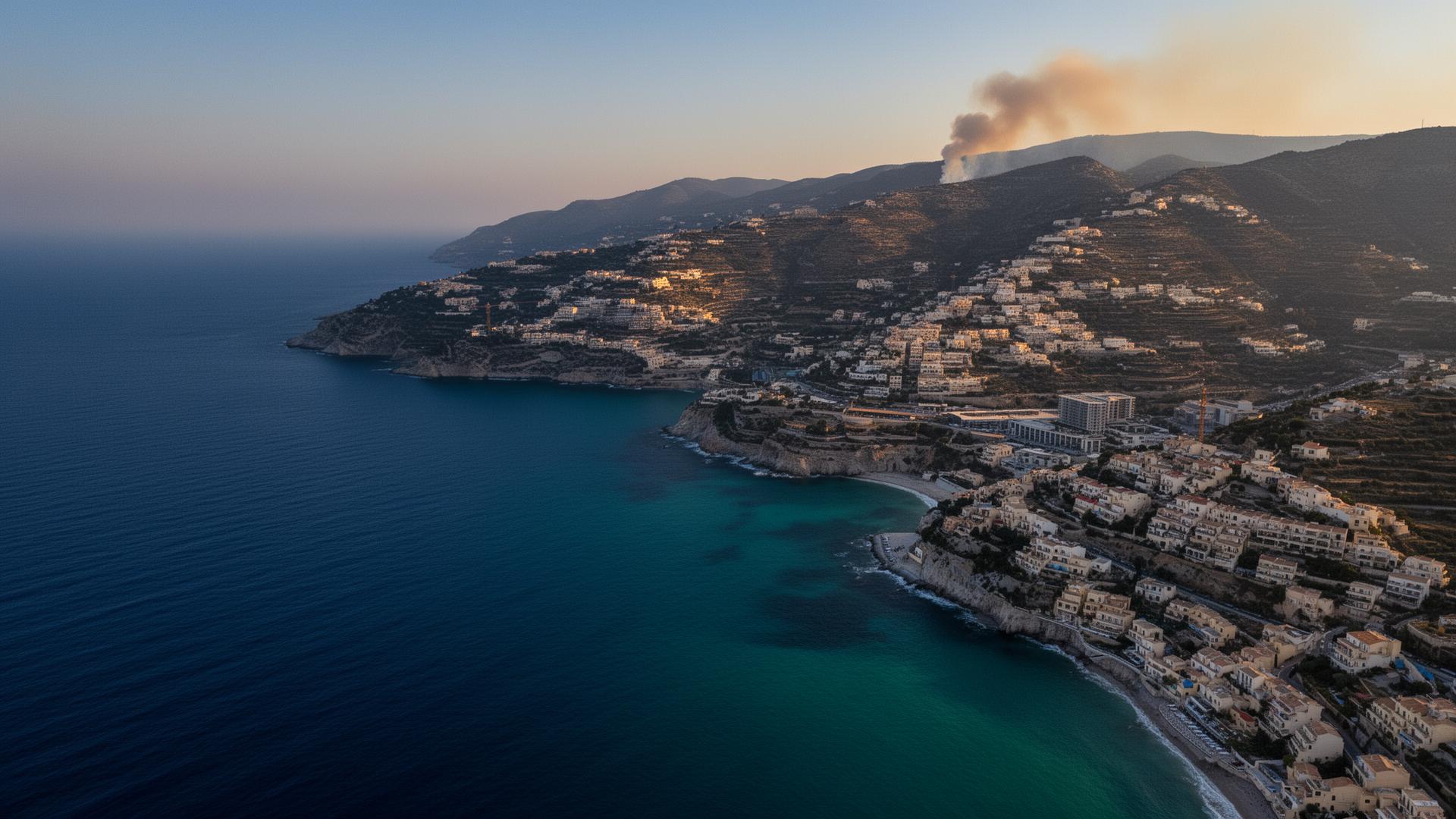
Urban heat

Surface temperature, built density and green cover set how hot a parcel runs during a heatwave.

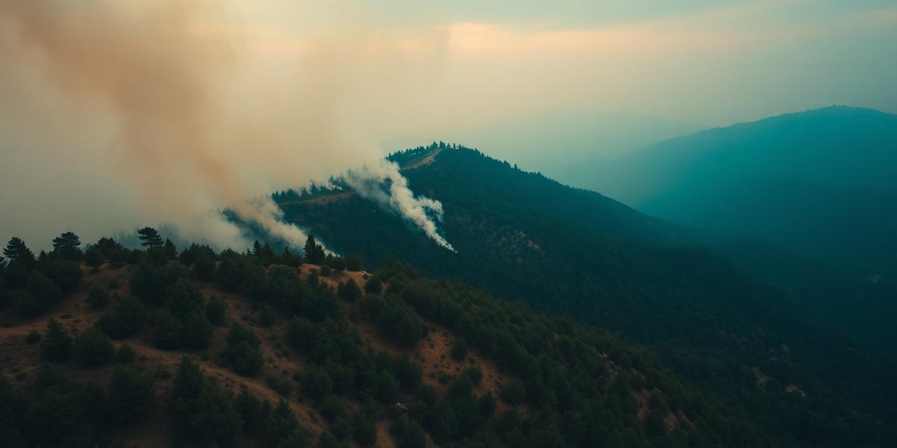
Wildfire

Fuel, slope, aspect and burn history combine into exposure at the wildland–urban interface.

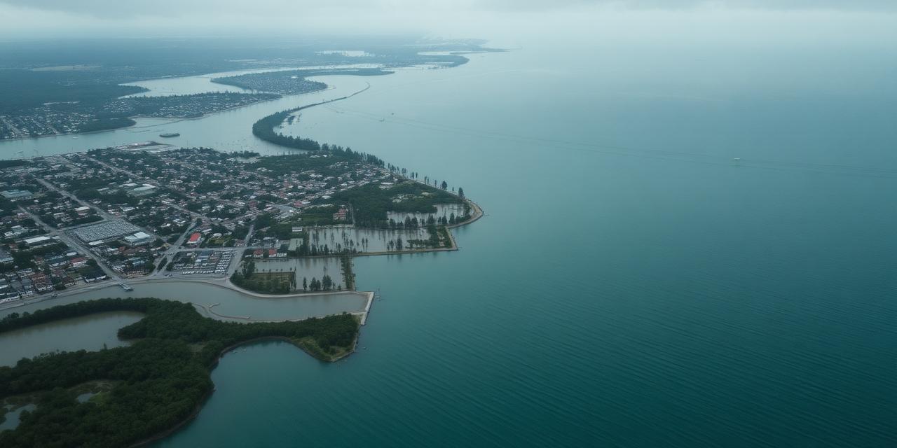
Flood & sea level

River and coastal flood zones, elevation and drainage, projected against sea level rise.

Storm & extreme wind

Gust return periods, exposure and terrain roughness for windstorm and hail damage.

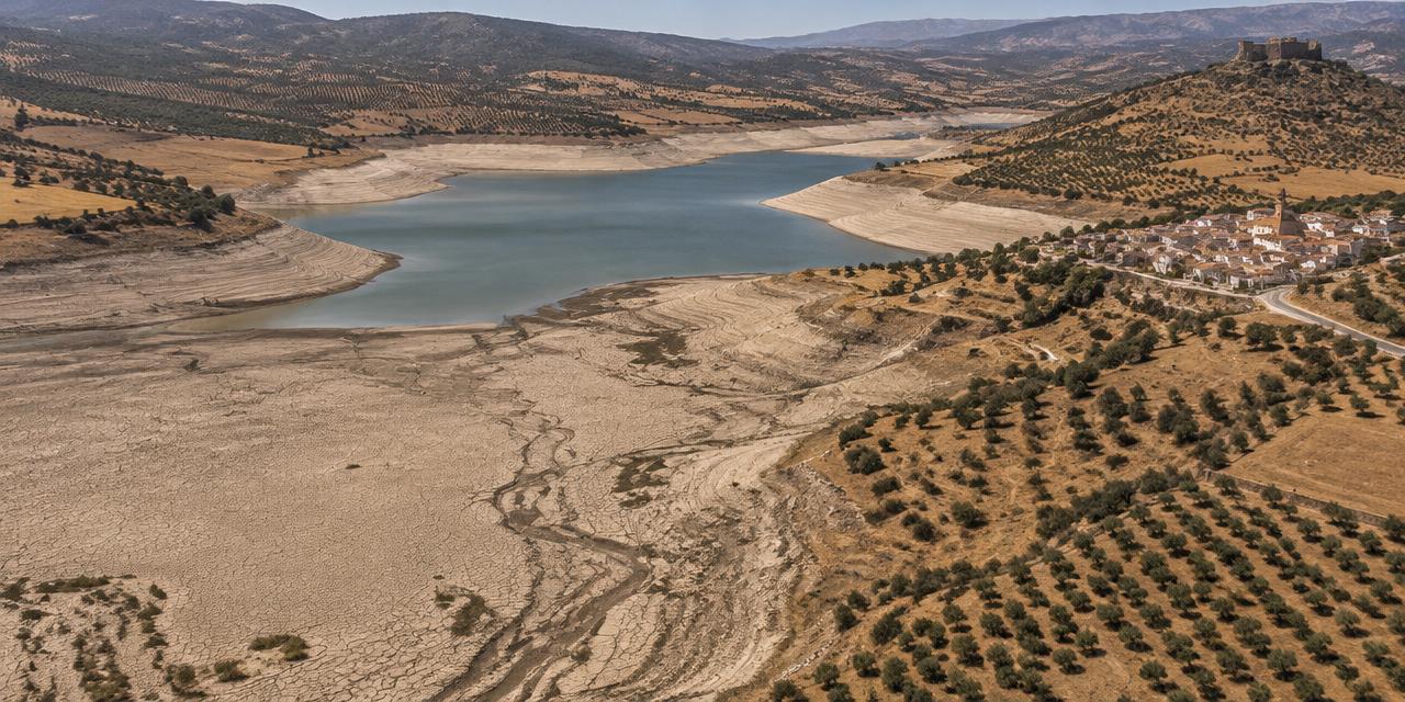
Drought & water stress

Rainfall deficit, soil moisture and basin stress across the coming decades.

Why GaiaVue

Awareness is no longer the bottleneck. Action is.

The science is settled, the headlines are constant, and the costs already show up in insurance premiums, mortgages and municipal budgets. Yet most asset owners still cannot answer the simple question: what does this mean for my parcel, today and in 2100?

Measure

We make the abstract concrete. Every asset is scored against the same IPCC scenarios, satellite observations and historical hazard records — so the climate future becomes a number you can compare, disclose and plan against.

Understand

Behind each score sits the data that produced it: the layers, the factors and the weights. Nothing is a black box, so the result stands up to a conversation with an insurer, a lender or a council.

Get in touch

Assessing climate risk for your assets?

Run the free check on your own address first. Then tell us what you are trying to assess — a home, a portfolio, farmland, infrastructure — and we will get back to you.