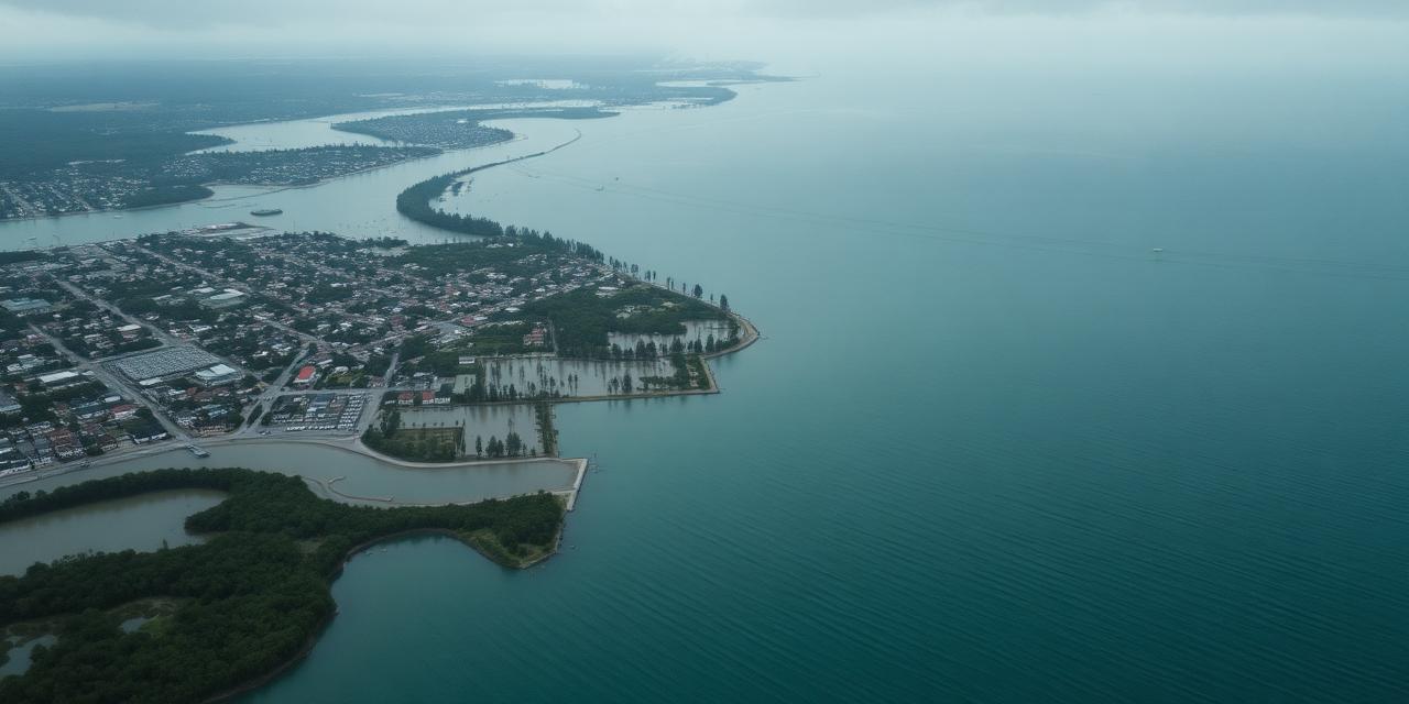
Flood & sea level
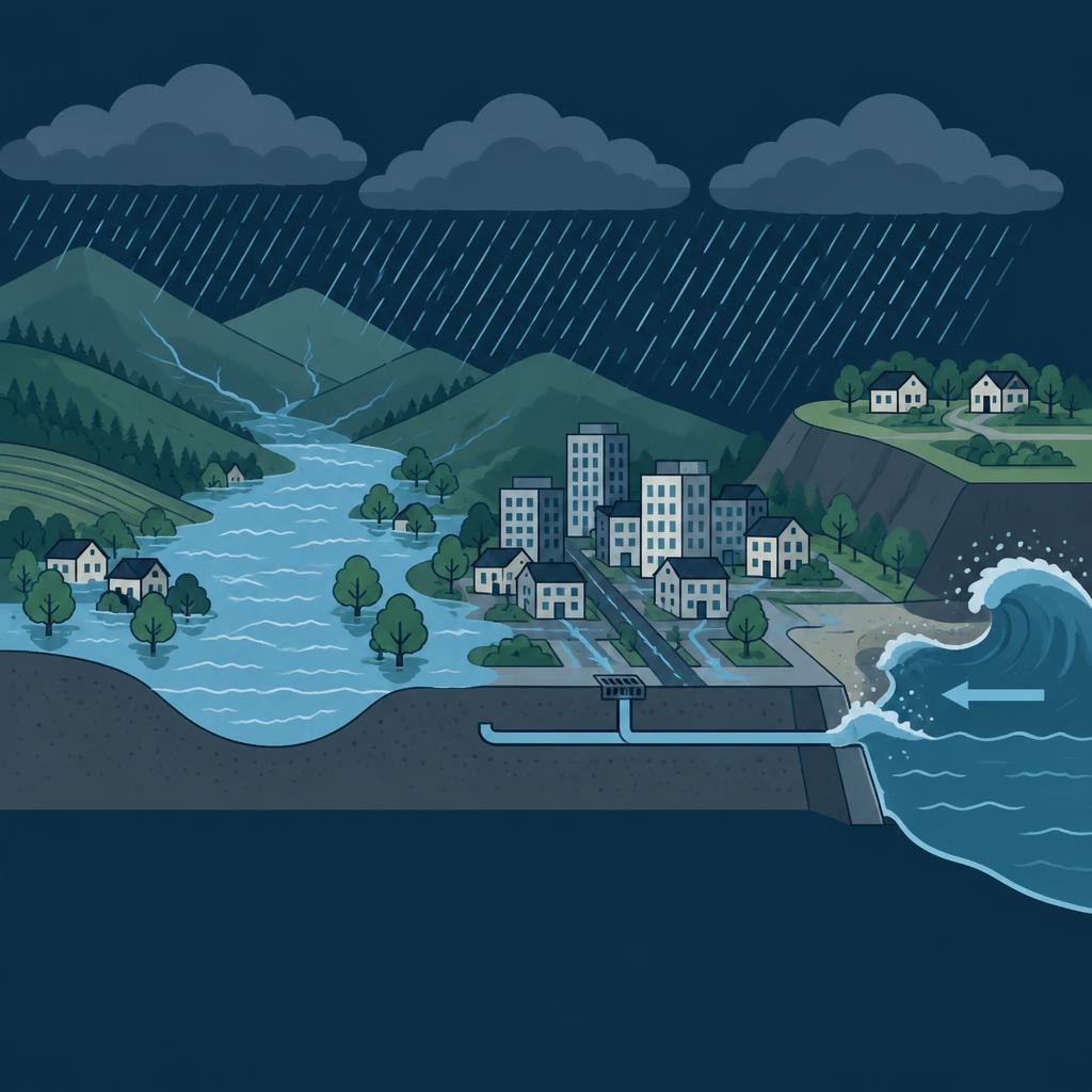
Four different kinds of water, each reaching a plot by a different route.
Flood risk is not one hazard.
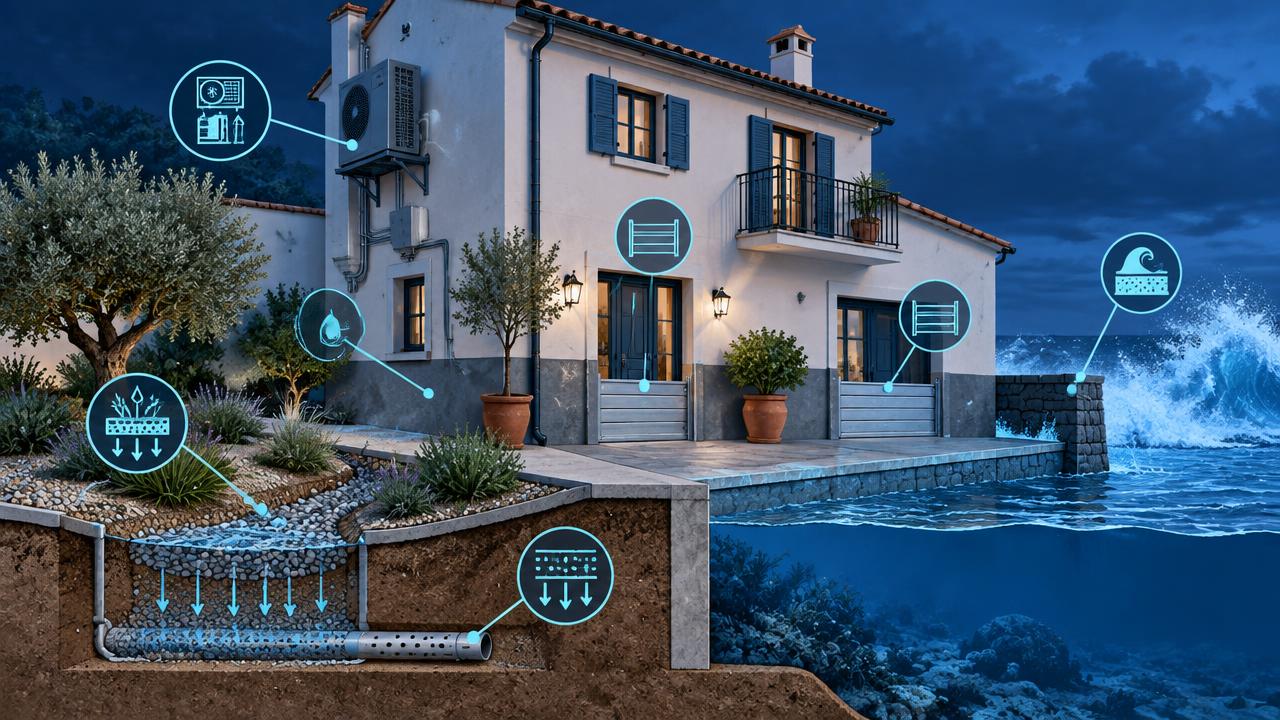
What it means
Society and your property, compared.
| Society | Parcel |
|---|---|
Sudden loss of life Flash flooding is Spain's deadliest weather event, especially in dry gullies where water arrives in minutes. | Height above the water A single metre of ground height can separate a nuisance flood from a total write-off. |
Damage and displacement Flooding wrecks ground floors, electrics, vehicles and stock, and displaces families for months. | Depth and duration Shallow flooding damages finishes; deep or prolonged water attacks structure, foundations and services. |
Insurance and finance Repeated claims push properties into restricted or costly cover, hurting mortgageability and resale value. | Runoff from around you A plot can flood without a river nearby if sealed upslope ground drains toward it. |
Infrastructure and coastline Rising seas compound every surge, eroding beaches, salinating aquifers and stressing coastal infrastructure. | What you can change Raised thresholds, non-return valves, permeable paving and small retention areas all reduce loss. |
What drives it
Physical and human causes.
- 01
Heavier rainfall
A warmer atmosphere holds more moisture, so the intensity of the heaviest hours rises even where annual rainfall falls — the pattern behind Mediterranean cloudburst events.
- 02
River regime
Catchment size, snowmelt, reservoir operation and channel confinement decide how quickly discharge translates into out-of-bank flow.
- 03
Sea level and surge
Mean sea level rise lifts the base on which every storm surge and high tide sits, so the same storm reaches further inland each decade.
- 04
Terrain
Valley floors, deltas and coastal plains collect water; terraces, bluffs and slopes shed it.
- 05
Sealing and drainage capacity
Urban expansion removes infiltration and loads drainage systems designed for a past rainfall regime.

How we score it
What sets the score.
We score five separate water pathways — the sea, the river, the rain itself, low-lying ground and runoff from sealed surfaces.
| Factor | Weight |
|---|---|
| Sea level & surgeSea level rise and storm-surge reach, gated by how high the plot sits above the sea. | 24% |
| Riverine dischargeRiver discharge and out-of-bank flow, measured against the nearest channel within about two kilometres. | 24% |
| Extreme rainfallIntensity of extreme rainfall — the cloudburst pathway, which is independent of ground height. | 20% |
| Low-lying terrainHow low the plot lies relative to the valley floor and the local drainage network. | 20% |
| Soil sealing / runoffSealed surfaces and drainage capacity, which convert rainfall into surface water. | 12% |
The data layers behind it
EEA river flood projections
Projected riverine flood exposure per climate pathway, used as the regional anchor.
EEA coastal flooding (1 m) and heavy precipitation
Coastal inundation extent and the trend in extreme rainfall.
Two-pass elevation model (~230 m per point over mainland Spain)
Height above the nearest channel, valley-floor position and surge reach — the backbone of the parcel-level signal.
NASA GIBS (GEBCO bathymetry, GPM IMERG precipitation, ASTER relief)
Coastline and sea-floor geometry, observed rainfall rate and shaded relief for the map layers.
Spanish Cadastre
Parcel boundary and the sealed footprint used in the runoff factor.
Every score is shown for a climate pathway (mid-range or high emissions) and a year out to 2100. Scores are screening-level: they tell you which hazard matters where you are and roughly how much, not what an engineering survey would conclude for a specific building.
The other hazards


See what this hazard does to your own address.
The parcel check is free and needs no sign-up: five hazard scores, the factors behind them, and trajectories out to 2100.